|
|
Benseather.com Forecast
|
|
Bensweather.com Forecast Updated: Saturday, May 03 @ 08:20pm
|
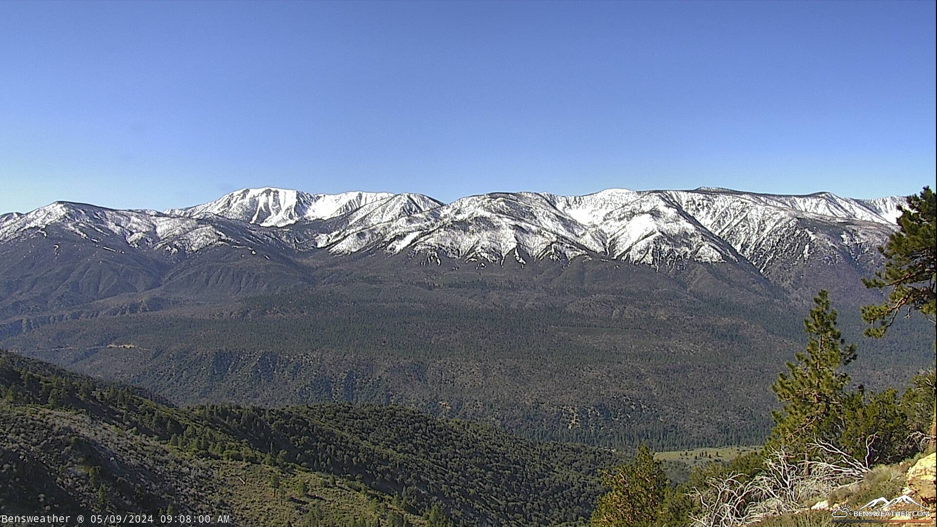
| Low-pressure will dig southward into the area tonight with clouds and winds on the increase, showers developing overnight. Cool and breezy with lows in the upper 20's and 30's. This low will meander around the area on Sunday and Monday, bringing a chance of rain and snow showers at times with isolated thunderstorms. Cooler and windy as highs drop into the 40's with lows dipping into the upper 20's. West winds will increase to 10-20 mph with gusts to 30 mph possible at times. The snow level will bounce around 6,000-8,000 feet so be prepared for a mixed bag of weather over the next couple of days. Low pressure will slowly exit the region on Tuesday, however, residual mid-level moisture combined with daytime heating could spark a few afternoon showers. As this low finally ejects northeastward out of the region, expect fair and warmer conditions through the second half of the week as highs reach the 70's by next weekend.
|
|
 |